CNRL Site Remediation
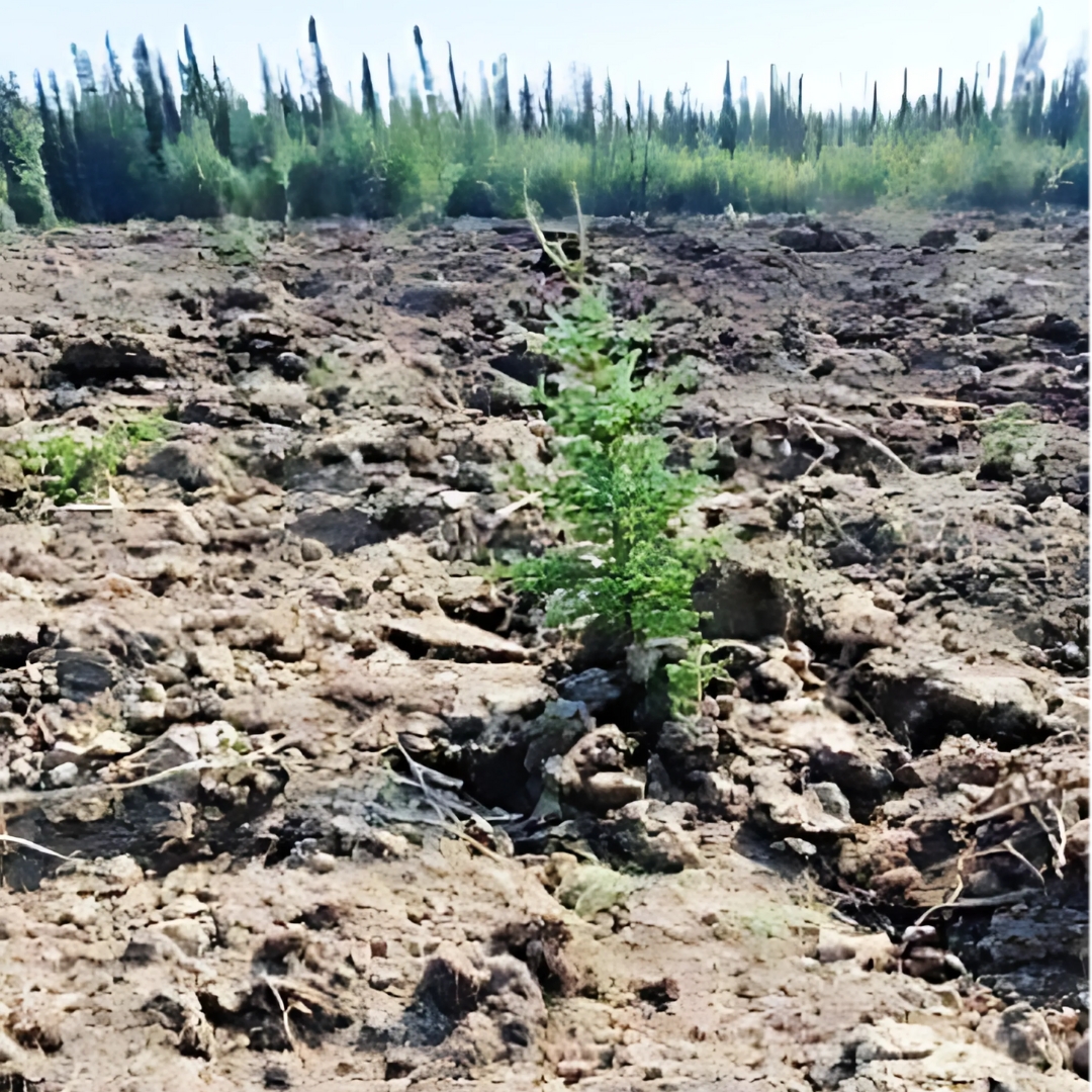
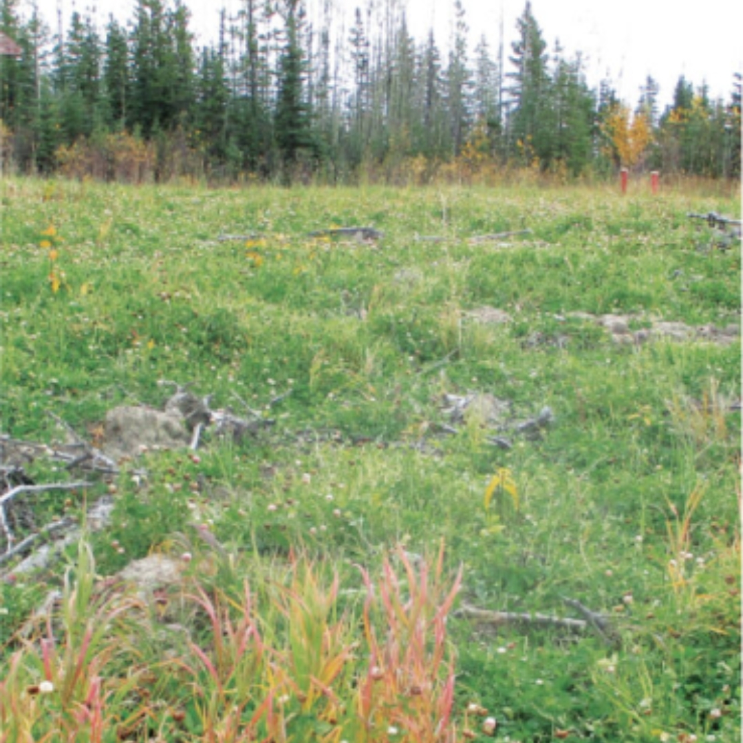
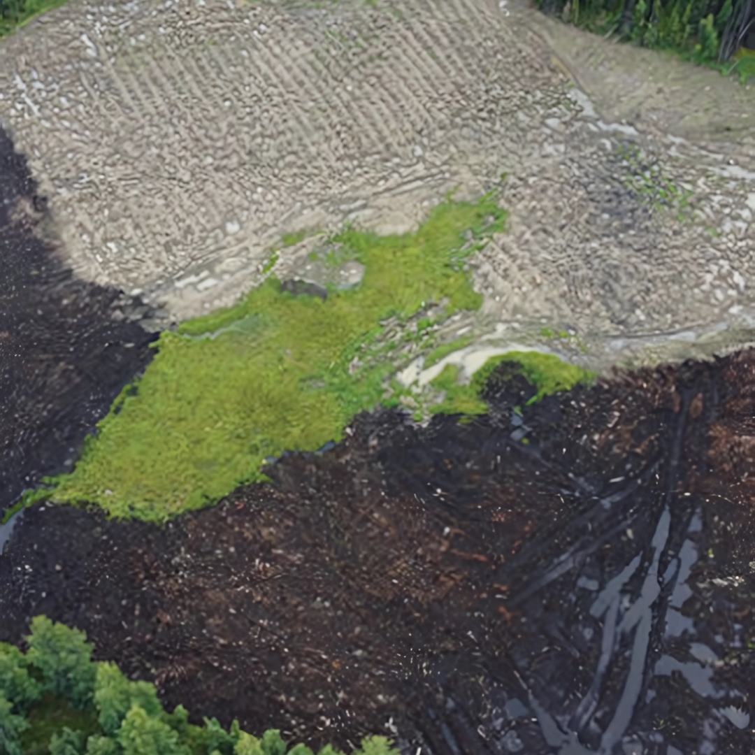
Summary: We leveraged ArcGIS Field Maps, Trimble Catalyst and ArcGIS Online to develop a remediation solution for CNRL. The site had two existing soil piles that had to be sampled and either placed on-site or removed. We enabled the Field Staff to communicate directly via Field Maps and AGOL to the Project Manager. The Project Manager could dynamically classify the soil piles based on the Analytical results and instantly communicate the work plan to the Field Staff. Our Remediation App also allowed the Project Manger to quickly and clearly communicate the site status to the Client.