Groundwater & Surface Water Monitoring
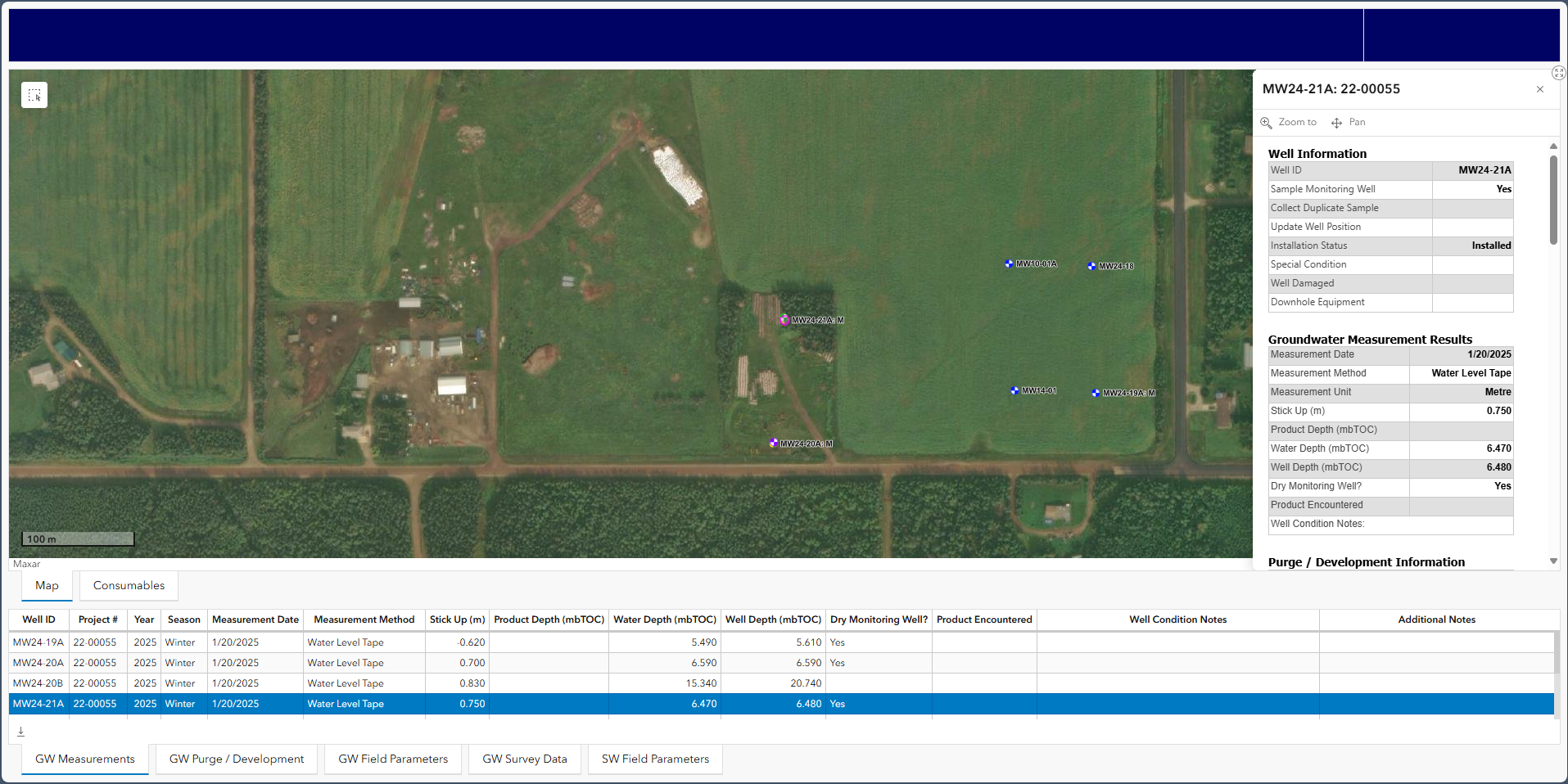
Summary: We have completely Digitized our routine Groundwater and Surface Water Monitoring. Leveraging ArcGIS Field Maps we collected hundreds of water samples across BC, Alberta, Saskatchewan and Manitoba in 2024, removing any manual transcription of field sheets. The digitally collected data integrated seamlessly with IntelleKt enabling faster reporting and enhanced visibility to site status. A Dashboard was also developed to allow Project Managers to have instant access to the status of Monitoring Programs.
