Thorhild Wetland Restoration
Summary: We have completely Digitized our routine Groundwater and Surface Water Monitoring. Leveraging ArcGIS Field Maps we collected hundreds of water samples across BC, Alberta, Saskatchewan and Manitoba in 2024, removing any manual transcription of field sheets. The digitally collected data integrated seamlessly with IntelleKt enabling faster reporting and enhanced visibility to site status. A Dashboard was also developed to allow Project Managers to have instant access to the status of Monitoring Programs.


Sedge transplant wetland four year after planting.

Reclaimed Borrow Pit—2024.
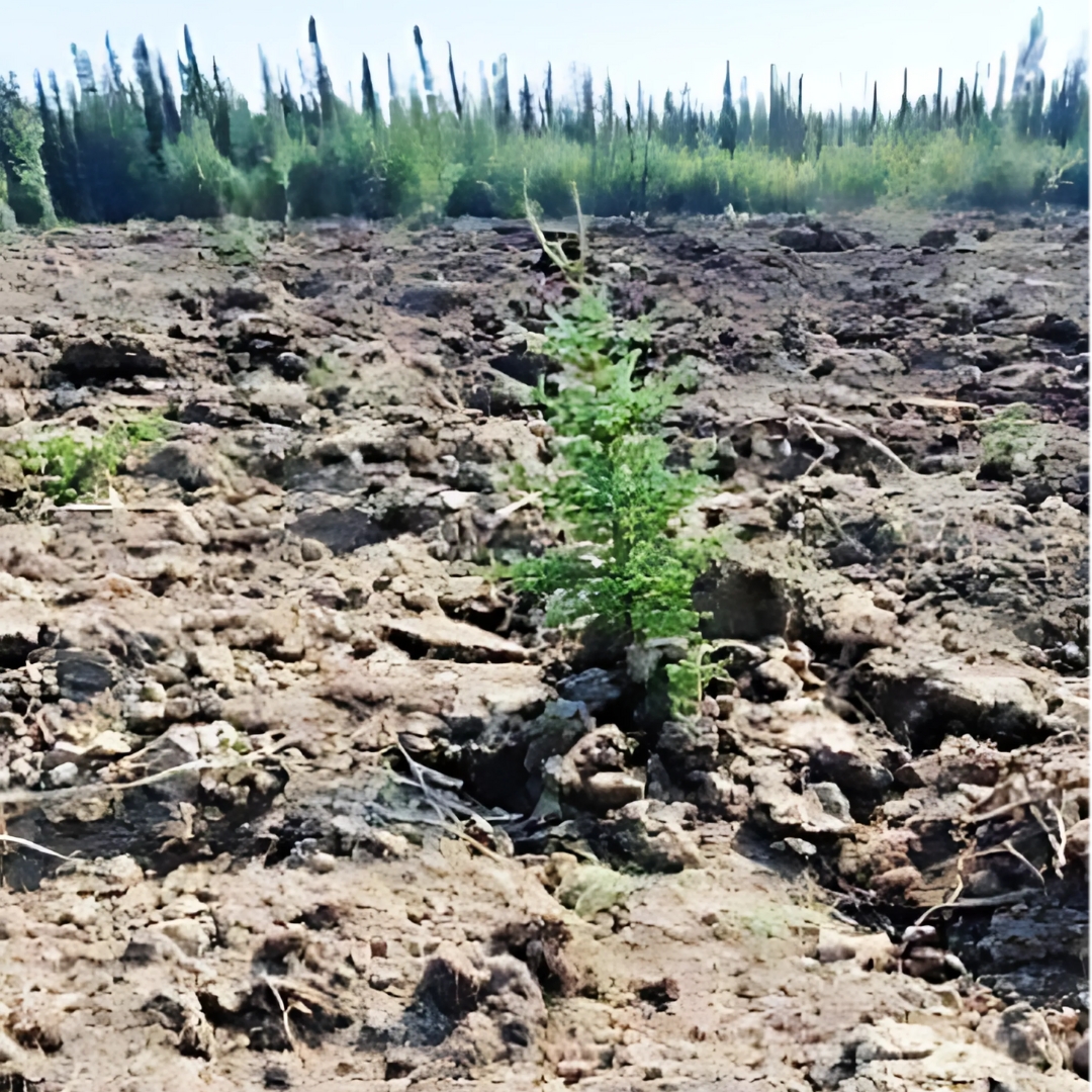
Heavy birch encroachment within the fenced peatland had created competition for water resources and shading, decreasing the ability for desired mosses and vegetation species associated with a graminoid or shrubby fen to establish. Aerial spraying of the birch with a selective herbicide was conducted in 2016 to kill off the birch.

Restored Peatland—2014
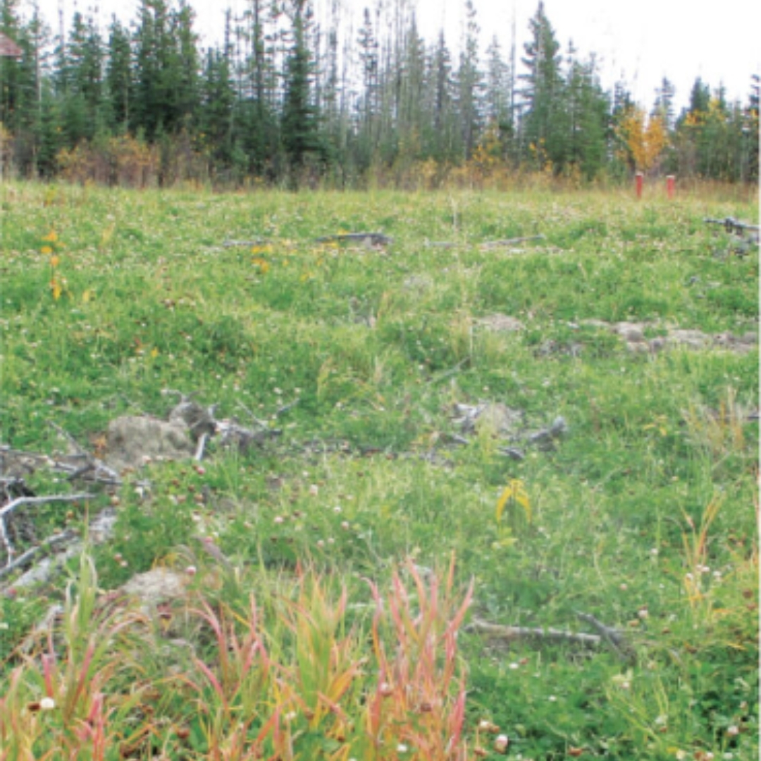
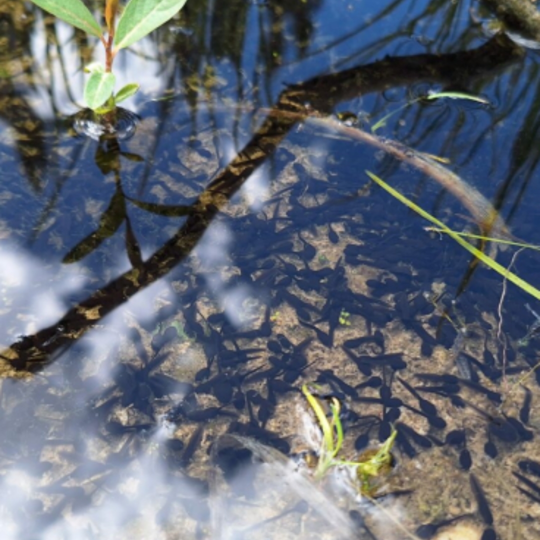
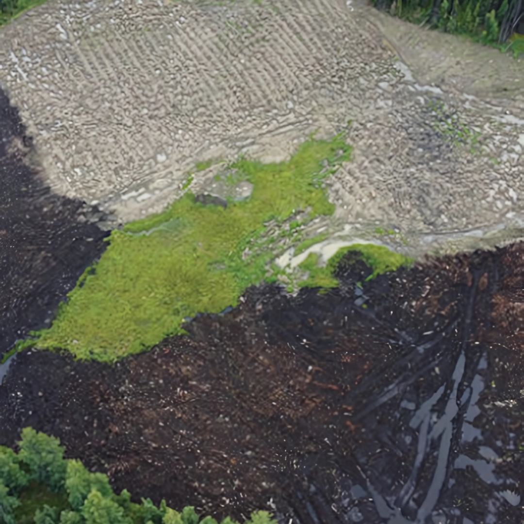
Despite two years of flooding in 2018 and 2020 a distinct emergent wetland vegetation zone is establishing along the two reclaimed borrow pits, and wildlife such as muskrats, ducks, coots and molluscs have been observed. The old historic peat farm which was dry in 2015 has now had its moisture regime re-established with the plugging of the old drainage ditches and it is establishing itself as a graminoid fen. In the reclaimed peatland where birch control had been conducted moss cover has steadily increased since 2017 and is trending towards a shrubby fen.

Moss Growth in Restored Peatland—2024

Historic Peatland—2016

Historic Peatland—2024